


SHADE TWP VTD 02, Somerset County, Pennsylvania
About
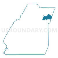
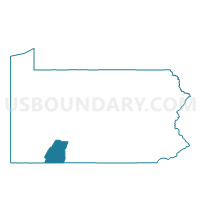
Outline

Summary
| Unique Area Identifier | 663909 |
| Name | SHADE TWP VTD 02 |
| County | Somerset County |
| State | Pennsylvania |
| Area (square miles) | 18.97 |
| Land Area (square miles) | 18.95 |
| Water Area (square miles) | 0.02 |
| % of Land Area | 99.89 |
| % of Water Area | 0.11 |
| Latitude of the Internal Point | 40.13225420 |
| Longtitude of the Internal Point | -78.77239890 |
Maps

Graphs
Select a template below for downloading or customizing gragh for SHADE TWP VTD 02, Somerset County, Pennsylvania


Neighbors
Neighoring Voting District (by Name) Neighboring Voting District on the Map
- CENTRAL CITY Voting District, Somerset County, PA
- NAPIER TWP Voting District, Bedford County, PA
- OGLE TWP Voting District, Somerset County, PA
- PAINT TWP VTD 01, Somerset County, PA
- SHADE TWP VTD 01, Somerset County, PA
- SHADE TWP VTD 03, Somerset County, PA
Top 10 Neighboring County Subdivision (by Population) Neighboring County Subdivision on the Map
- Paint township, Somerset County, PA (3,149)
- Shade township, Somerset County, PA (2,774)
- Napier township, Bedford County, PA (2,198)
- Central City borough, Somerset County, PA (1,124)
- Ogle township, Somerset County, PA (501)
Top 10 Neighboring Place (by Population) Neighboring Place on the Map
Top 10 Neighboring Unified School District (by Population) Neighboring Unified School District on the Map
- Chestnut Ridge School District, PA (10,688)
- Windber Area School District, PA (8,881)
- Shade-Central City School District, PA (3,898)
Top 10 Neighboring State Legislative District Lower Chamber (by Population) Neighboring State Legislative District Lower Chamber on the Map
Top 10 Neighboring State Legislative District Upper Chamber (by Population) Neighboring State Legislative District Upper Chamber on the Map
Top 10 Neighboring 111th Congressional District (by Population) Neighboring 111th Congressional District on the Map
Top 10 Neighboring Census Tract (by Population) Neighboring Census Tract on the Map
- Census Tract 9609, Bedford County, PA (4,948)
- Census Tract 202, Somerset County, PA (4,673)
- Census Tract 204, Somerset County, PA (3,898)
Top 10 Neighboring 5-Digit ZIP Code Tabulation Area (by Population) Neighboring 5-Digit ZIP Code Tabulation Area on the Map
- 15963, PA (11,114)
- 15563, PA (3,345)
- 15926, PA (2,676)
- 15554, PA (2,553)
- 15936, PA (1,620)
- 15924, PA (1,034)